A1 Gateview House, Constantia Office Park, Weltervreden Park,1709
+27 11 675 0596 |+27 72 312 4486 | +27 84 789 9651
romeo@duvhasolutions.com

Industries | Solutions
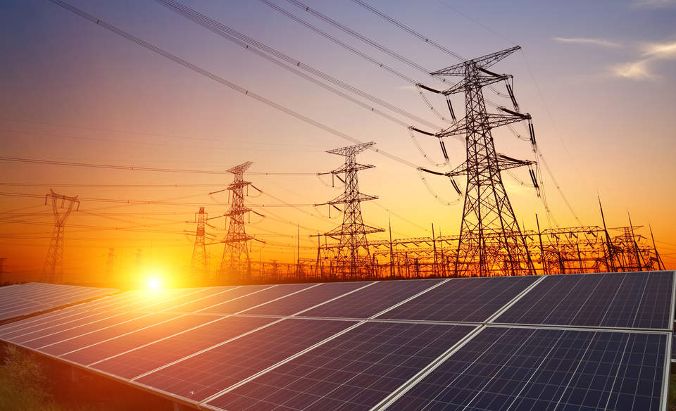
1. Power Utilities
LiDAR data have become popular in the management of new transmission line corridors, hydro-electric and Dam sites, and wind energy farms. These power solutions have used the accurate DTM and DSM derived from Airborne LiDAR acquisition to model new route locations, monitor existing transmission lines, water flow modelling, vegetation encroachment on power lines, and visibility studies for turbine locations and solar panel placement.
3. Mining
LiDAR surveys have become important feature in the mining industry due to many distinct advantages it provides for the planning of existing or future mine property.
Airborne LiDAR surveys can acquire millions of points within each square kilometre. This ability to acquire high point density creates a robust dataset for volumetric calculations, geomorphology and structural geology, design of transmission line or road corridors, slope analysis and run off surface modelling for feasibility studies and environmental impact studies.
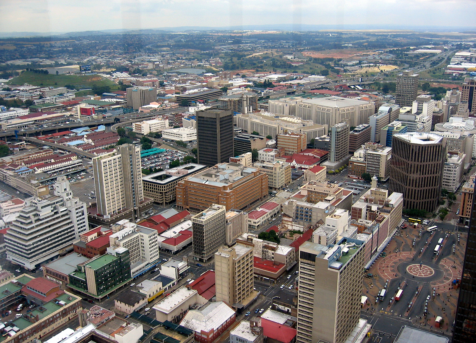
5. Government
Combination of high resolution imagery and high density LiDAR assist government to take sound decisions for future infrastructure developments. Accurate LiDAR dataset can be used for the design of roads, dams, schools, hospitals etc. Municipalities can also use high resolution imagery to assist in determining property valuations, emergency response and taxes and tariffs.
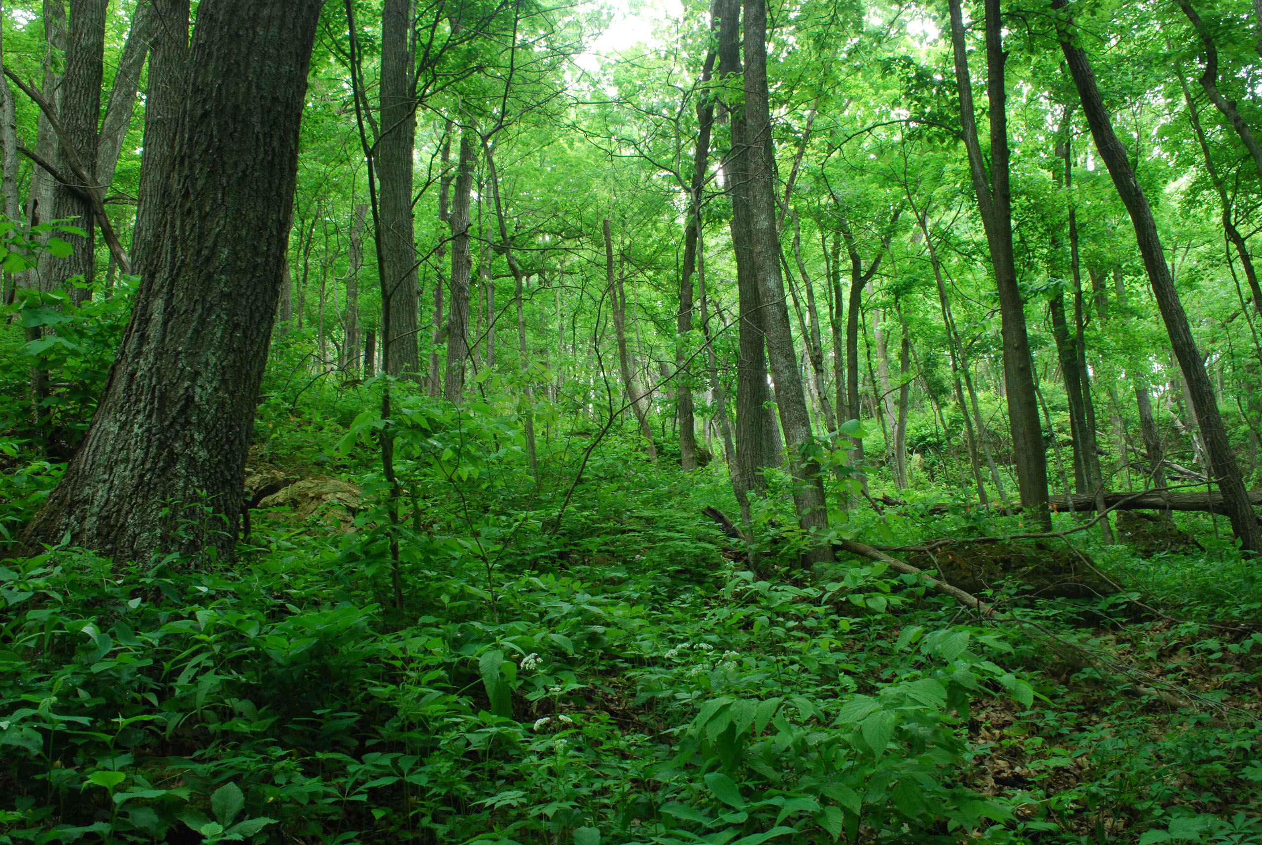
2. Forestry
LiDAR data provides spatial solutions to forest managers to understand the forest canopy and terrain, forest health, forest biomass, and drainage patterns. Traditionally, foresters and land managers have relied on topographic maps for terrain classification and time consuming field-based surveys to obtain tree volumes and height information. LiDAR data provides significant improvements over both these techniques.
4. Oil and Gas Exploration
The oil and Gas exploration industry prefer to use LiDAR data because of its ability to provide accurate x,y,z solutions within severe terrain and canopied areas for exploration programs, to road access and pipeline design for developmental areas. LiDAR is also able to acquire detailed data for large areas and deliver accurate solutions within days of flight.
The primary deliverable products for our Oil and Gas clients are digital terrain models, slope and vegetation height maps etc.
6. Environmental Monitoring
LiDAR has seen its uses for environmental impact and monitoring studies rise dramatically in recent years. High resolution imagery combined with high density LiDAR points allow environmentalists perform tasks such as flood analysis and mapping, slope calculation, view shed analysis, determine water and wind flows, monitor rehabilitation sites etc.
Acquisition
Aerial LiDAR
Aerial Imagery
Satellite Imagery
Land surveys
Processing
Ortho-Imagery
DEM / DTM
Contours
Planimetric Extraction
Volumetric Mapping
Results
Utility Management
Corridor Surveys
Emergency Response
Terrain Analysis
Vegetation and Forest
management
Environmental
monitoring
LiDar | GIS | UAV & sUAV | Satellite Imagery
A1 Gateview House, Constantia Office Park
Cnr 14th Avenue & Hendrick Potgieter
Weltervreden Park
1709
+27 11 675 0596 | +27 72 312 4486
+27 84 789 9651
romeo@duvhasolutions.com
thabo@duvhasolutions.com
© 2019 DUVHA SPATIAL SOLUTIONS.