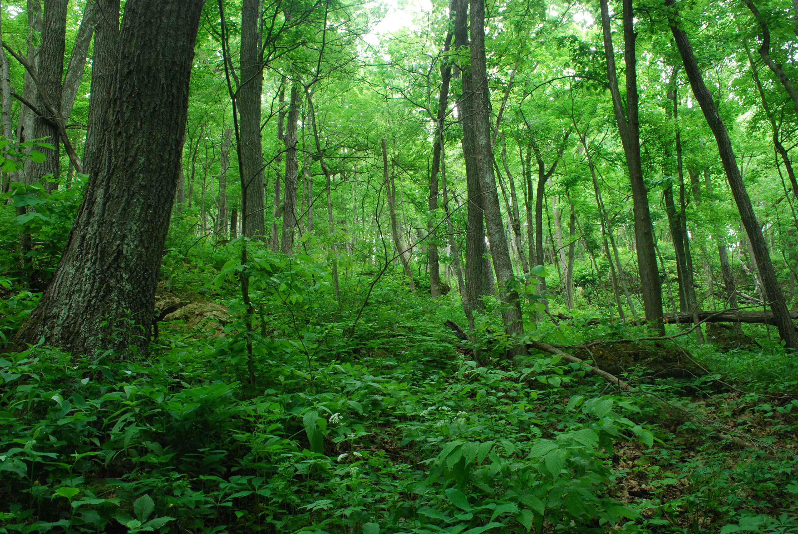
LiDAR Data
Processing
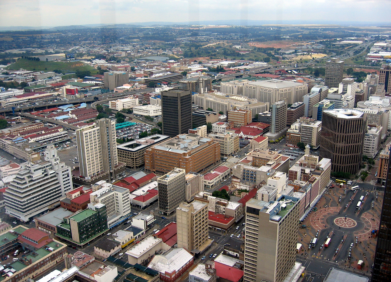
Orthophoto
Production
Geographical
Information
Systems
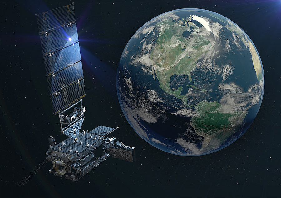
Satellite
Image Data
A1 Gateview House, Constantia Office Park, Cnr 14th Avenue & Hendrick Potgieter
Weltervreden Park
1709
romeo@duvhasolutions.com
thabo@duvhasolutions.com
+27 11 675 0596 | +27 72 312 4486
+27 84 789 9651
Address
Email Address
Phone Number
A1 Gateview House, Constantia Office Park, Weltervreden Park,1709
+27 11 675 0596 | +27 72 312 4486 | +27 84 789 9651
romeo@duvhasolutions.com


GIS AND AERIAL SURVEY COMPANY
DUVHA SPATIAL SOLUTIONS
Duvha Spatial Solutions is a vibrant and exciting True South African Geospatial Company. We have a comprehensive focus on GIS and Aerial Surveys wherein our expertise lie in complete LiDAR Survey Solutions, Digital Ortho-photogrammetry, Land Survey Solutions. We also compliment our services by delivering solutions oriented and analysis services such as Satellite Data sourcing and processing, including GIS data management, analysis and manipulation.
Our advantage lie in our ability to manage a project from a “cradle to grave” oriented approach. Our spectrum of services range from data acquisition and capture, through a phase of data processing and digital corrections, to the analysis of data to client specific needs. Our GIS Solutions allow us to manipulate datasets from different sources using our range of software and developed methodologies, including our Satellite imagery data sources to assist in planning and change monitoring.
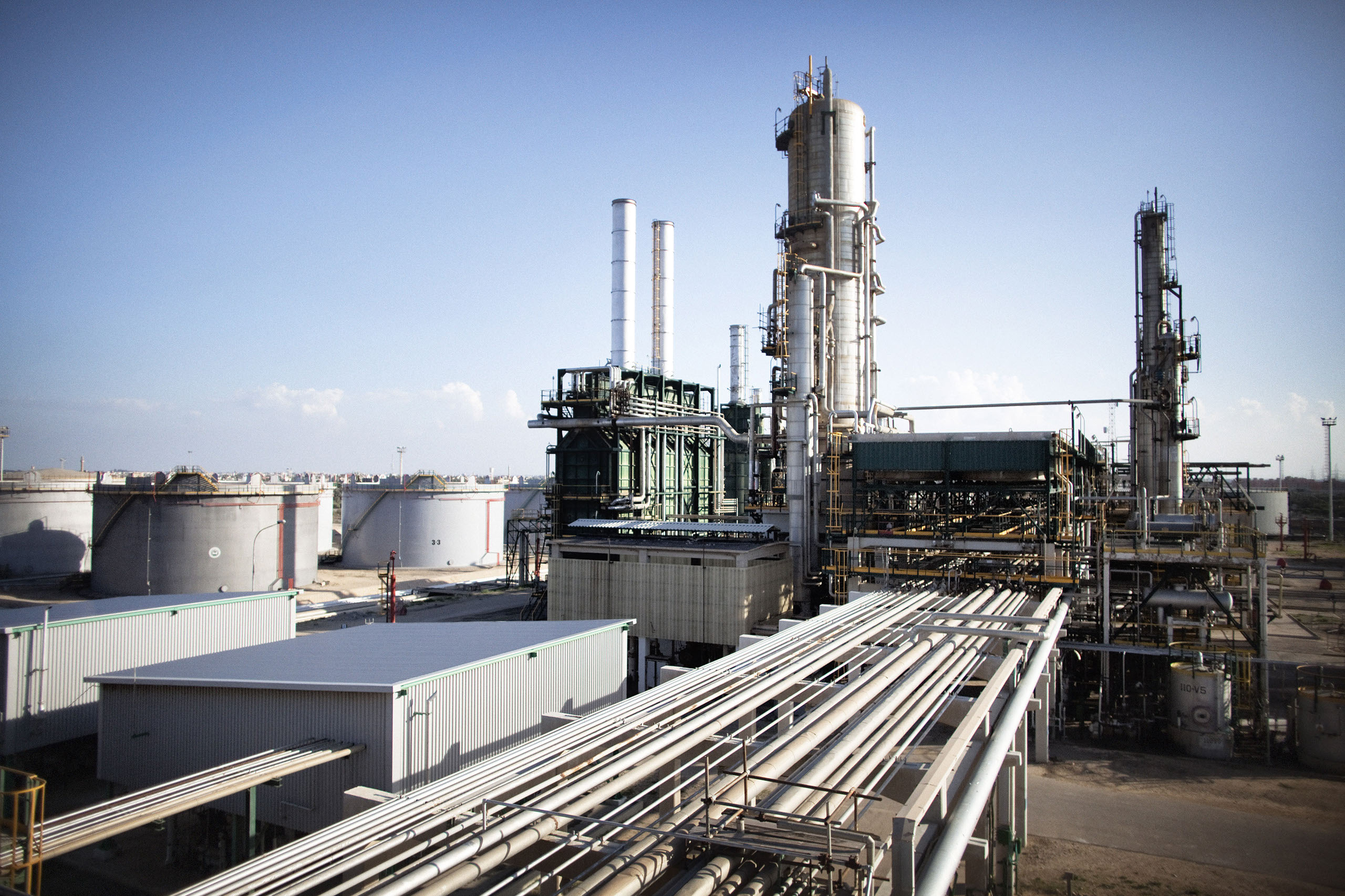
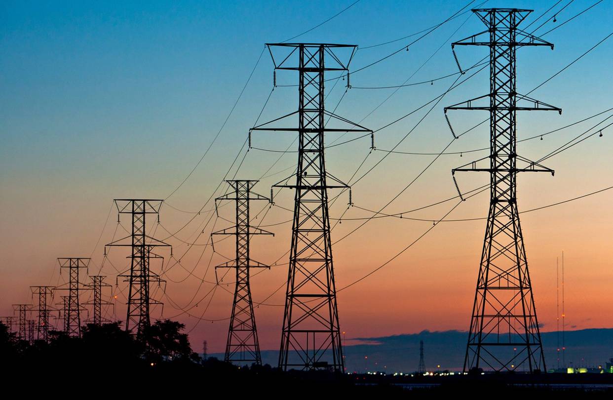
To date, we are proud to say that we have completed over 2.5 million hectares of LiDAR projects, and over 3 million digital ortho-photo projects. We have also completed over 2,500km of linear route projects. These projects range form Powerlines, Roads, Pipelines, Forestry, Electrification project planning.
This has been achieved over a period of only the past three years, and counting. Our success lie in the hands of our very capable team of qualified professionals who show dedication in the work and meeting the client’s needs in an exemplary manner.
Leading GIS and Aerial Survey Company
We have capabilities to process LiDAR, sUAV captured imagery and Satellite Data, including GIS data management.
Get In Touch
GIS AND AERIAL SURVEY COMPANY
Get in Touch With Us
LiDar | GIS | UAV & sUAV | Satellite Imagery
A1 Gateview House, Constantia Office Park
Cnr 14th Avenue & Hendrick Potgieter
Weltervreden Park
1709
+27 11 675 0596 | +27 72 312 4486
+27 84 789 9651
romeo@duvhasolutions.com
thabo@duvhasolutions.com
© 2019 DUVHA SPATIAL SOLUTIONS.